Experts Warn: Autumn Will Bring Extreme Weather Phenomena in Alicante
From Torrential Rains at the Start of the Month to Sweltering Heat at the End of October
Tere Compañy Martínez
Alicante
Monday, 27 October 2025, 07:25
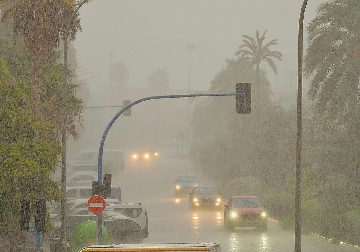
Weather has become unpredictable. In just over fifteen days, Alicante has gone from experiencing a red alert storm to reaching summer temperatures. October began with the province under warning for torrential rains: the fear of heavy rainfall forced the cancellation of the 9th of October events —Day of the Valencian Community— and left flooding in towns like Pilar de la Horadada and Torrevieja.
However, barely two weeks later, thermometers have once again approached 30 degrees. Beaches have filled with bathers, air conditioners have been turned back on, and Halloween pumpkins mix with fans.
According to experts, this meteorological roller coaster is not an exception but the new normal. "We will have to get used to it," warns Jorge Olcina, director of the Climatology Laboratory at the University of Alicante.
Avisos rojos por lluvias cada vez más frecuentes
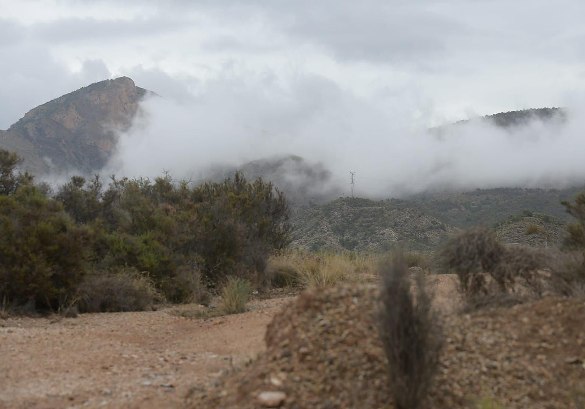
Storms, danas and cold drops will become increasingly common in the Mediterranean arc. The main cause is the sea temperature, which remains above average. "That extra energy is the fuel storms need to form," explains Olcina.

The expert reminds us that during autumn we will be on alert for weather warnings. "Red or yellow warnings will be commonplace, and if the alert level is high, we must interrupt our normal activities," he advises.
Among the precautionary measures, Olcina recommends not crossing dry riverbeds or ravines, parking in elevated areas, following only official sources —such as Aemet or Civil Protection— and staying alert to changes in the forecast. With an orange warning, it is advisable to avoid travel and flood-prone areas.
Noches tropicales y ponentà en pleno otoño
Danas are not the only phenomenon marking the new autumn climate. Anomalous temperatures have also left tropical nights and summer-like highs. Last Thursday 23rd and Friday 24th, much of the province reached 30 degrees due to the arrival of Saharan air and the classic westerly wind, known as the ponentà, which sent the thermometer soaring.
Isolated showers and increasingly extreme weather
The instability does not stop. In the coming days, the wind will change again, from the dry and warm westerly to the colder and more humid easterly. With this shift, temperatures will drop, and storms with isolated showers could return.
Olcina summarises the situation clearly: "This will be the new normal for Mediterranean autumns brought by climate change: days of above-normal heat combined with episodes of intense rain and storm alerts."