
Sections
Services
Highlight

Óscar Bartual Bardisa
Alicante
Lunes, 2 de septiembre 2024, 11:30
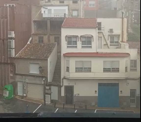
Late summer rains have arrived in the province. The first day of September has brought showers to the inland areas of Alicante, and it is expected that precipitation will be present throughout the territory over the coming week.
This forecast comes from the State Meteorological Agency (Aemet), which predicts rain in the province until Friday, with Monday and Wednesday being the days with the highest likelihood of storms. These will be accompanied by high humidity and maximum temperatures exceeding 30 degrees in some regions.
So far, Sunday’s showers have left significant accumulations, particularly in the northern inland areas of Alicante. Banyeres de Mariola was the municipality where the rain fell most heavily.
According to data collected by the Valencian Association of Meteorology (Avamet), 28.8 liters per square meter fell there, marking it as the highest in Alicante. Neighboring municipalities also recorded precipitation with accumulations ranging from 5 l/m2 to over 20 l/m2. Other localities like Villena also saw significant showers on Sunday, with nearly 14 l/m2 recorded.
A week of widespread precipitation is expected across the territory, although Monday’s rainfall will have a particular impact on the northern part of the province, both inland and along the coast, where Aemet has issued a yellow alert for showers that could result in more than 20 l/m2 in an hour and may even bring hail.
Aemet explains that “the passage of an Atlantic trough, which will penetrate from the western peninsula during the second half of the day, will lead to increased instability that will continue until Wednesday.”
The agency emphasizes that storms, similar to those in recent days, will occur inland and dissipate as they move towards the coast. It is expected that with the arrival of "unstable" maritime air, showers will also affect Alicante’s coastline.
In localities like Alcoi, thunderstorms with lightning are expected at midday on Tuesday, while Wednesday will also see intense storms, especially as the afternoon begins. On the coast, they will be weaker, but Aemet still forecasts rain in coastal municipalities.
Publicidad
Publicidad
Te puede interesar
Publicidad
Publicidad
Esta funcionalidad es exclusiva para registrados.
Reporta un error en esta noticia

Debido a un error no hemos podido dar de alta tu suscripción.
Por favor, ponte en contacto con Atención al Cliente.

¡Bienvenido a TODOALICANTE!

Tu suscripción con Google se ha realizado correctamente, pero ya tenías otra suscripción activa en TODOALICANTE.
Déjanos tus datos y nos pondremos en contacto contigo para analizar tu caso

¡Tu suscripción con Google se ha realizado correctamente!
La compra se ha asociado al siguiente email
Comentar es una ventaja exclusiva para registrados
¿Ya eres registrado?
Inicia sesiónNecesitas ser suscriptor para poder votar.