A new storm will bring rain, wind, and snow to the province of Alicante
The Aemet warns that the cold will give way to an alert for precipitation and coastal phenomena
Tere Compañy Martínez
Alicante
Wednesday, 15 January 2025, 19:26
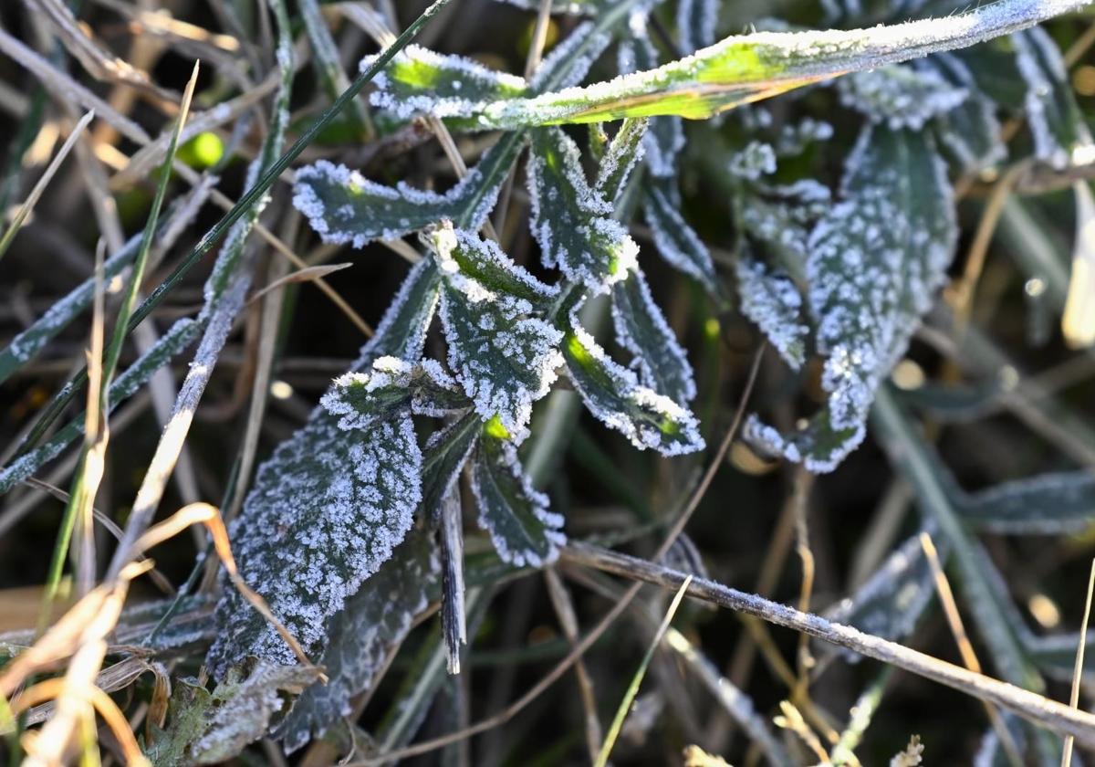
The province of Alicante continues to experience a rollercoaster of weather phenomena this January. Last week, temperatures soared to 25 degrees Celsius in some municipalities, while this Wednesday marked one of the coldest nights in recent memory, with temperatures dropping to minus 10 degrees in places like Villena. However, the situation doesn't end there, as after the frosts, residents must prepare for rain and storms.
The State Meteorological Agency (Aemet) has issued a yellow alert for rain this Thursday, 16th January, in the northern coast of the province of Alicante. In towns like Dénia or Calpe, up to 20 mm of rain is expected, with showers possibly accompanied by storms and small hail. The accumulation over 12 hours could reach 60 mm during the day.
Cambio de tiempo mañana. En el litoral se pueden producir chubascos localmente fuertes y ocasionalmente con tormenta y sin descartar granizo menudo, típico de época fría. Aviso amarillo activado en los litorales de Castellón, Valencia y norte de Alicante. https://t.co/THiPrrOEHd pic.twitter.com/qTfjHeFKnv
— AEMET_C. Valenciana (@AEMET_CValencia) January 15, 2025
The main event of the alerts will arrive on Friday, 17th January, when, in addition to the rain on the northern coast—similar to the previous day—a maritime storm will affect the entire Alicante coast. The wind will blow from the northeast with gusts possibly reaching 50 to 60 kilometres per hour (force 7) and waves over 3 metres high.
From the UA Climatology Laboratory, it has also been stated that this storm will mean that "70-80 litres per square metre could be exceeded in the Comtat, Marina Alta, and the extreme north of Marina Baja, extending to l'Alcoià and the surroundings of Torre de les Maçanes (l'Alacantí)."
Snow on the highest peaks
However, this storm will also bring one of the rarest phenomena in the province of Alicante: snow. A thin white blanket of a few centimetres could cover the peaks of some of the mountain ranges such as Aitana, Mariola, or Serrella, as the snow level in the province will be at 900 or 1100 metres.
According to the Climatology Laboratory, this phenomenon could also reach the most mountainous areas, "with those minus 30 degrees Celsius expected at about 5400 metres and the possible convective nature of the precipitation, we do not rule out that snow may appear in some of the higher-altitude villages."
The weather over the weekend
The Aemet has explained that it will be on Saturday when this storm will begin to move away. This will lead to more stable weather. Nevertheless, there will be rain in the Balearic Islands, and it is not ruled out that it may also occur in isolated points along the Mediterranean coast of the peninsula.
Sunday will bring frosts again. Despite this, the Aemet spokesperson has indicated that a change in the weather pattern will begin to be seen as the anticyclone that has kept the weather generally stable in much of Spain, except in the Mediterranean, weakens. Therefore, the way will be clear for Atlantic storms to begin arriving. Frosts will start to subside on Sunday and from Monday onwards.